Previous | Gallery
| Next
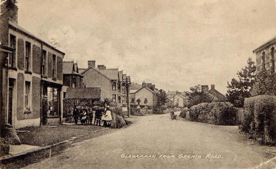
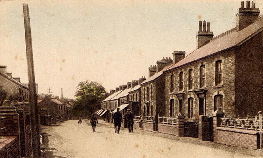
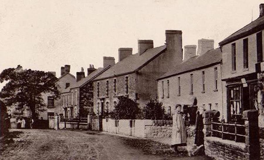
Cwmamman Road, looking west from Grenig Road junction.
In the early part of the 19th century, there were only
a few mountain roads that led into the remote Amman Valley. Old Maps
show that Hên Bethel Chapel would have been on one of the main
routes into the valley, when Llandeilo Road went directly past the
front entrance gate. Llandeilo road was once a main thoroughfare connecting
Llandilofawr and Neath. Grenig Road in Glanamman was also used as
a drovers road to access the Swansea and Neath areas from Cwmamman.
It was known locally as "Heol Arw Unig" due to it's remoteness.
Cwmamman Road came into being when a turnpike road was
built in 1817. Turnpike roads are roads which were built by companies
or Turnpike Trusts who intended to make a charge for their use. A
Turnpike Trust would be established by interested parties such as
industrialists who would be required to gain an act of Parliament
in order for them to become an official body. The trust would run
for a set number of years, allowing the trustees to recoup the cost
of the new or improved road from the tolls paid by the road users.
A toll house was once sited near the Cross Keys Public House in Glanamman
and a photograph of this, dated circa1890, can be seen in a book printed
in 1987, called "Dyffryn Aman 'Slawer Dydd" (Amman Valley
Long Ago), by David A. Evans and Huw Walters. Glanamman Square was
once known as "Sgwar y Gat" (Gate Square).
The 11th Feb, 1971, edition of the South Wales Guardian
reported that Cwmamman Urban District Council had received authorisation
from the Welsh Office to place Zebra Crossings on the A474 at Glanamman
and Garnant.
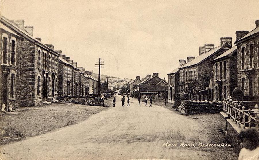
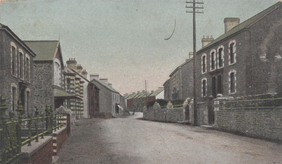
Cwmamman Road, looking west from Brynlloi Road junction.
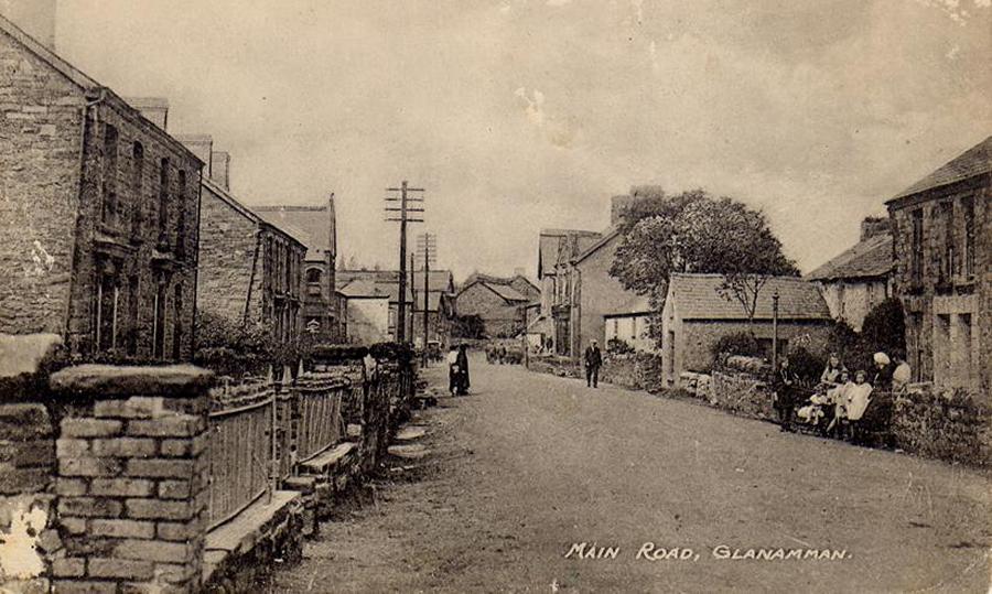
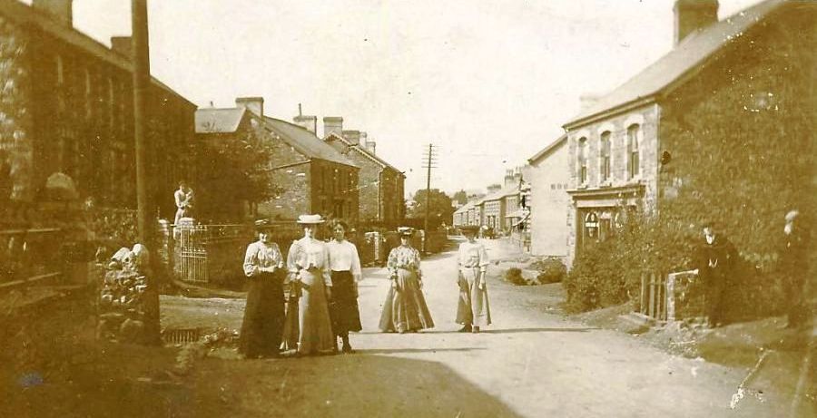
Cwmamman Road, near Bethesda Chapel, looking west
towards Glanamman Square.
At a meeting of the Cwmamman Urban Council in December
1933, Mr. D. H. Thomas complained of the state of the road at Glanamman
Square; the surface of which had become dangerous. He told the council
that he had been approached by several people who had complained about
the condition of the road and that only a week previously, he had
seen a horse which was attached to a cart, slip to it's knees; knocking
out three of it's teeth when it's mouth hit the ground. The Council
resolved to remove the wall on the square and treat the road surface
with a suitable material.
In 1939, a road widening scheme took place in Glanamman
which provided much needed work for local men. The 1st of June, 1939
edition of the Amman Valley Chronicle reported that 35 unemployed
men were given a months work. The work was expected to last for 9
months and the men were employed on a rotational basis, meaning that
on average, four would have been working on the road widening scheme
per month. Prior to this, some of those employed on the scheme hadn't
worked for five years.
Aswell as houses on the main road losing part or all
of their front gardens, Bethesda had the wall in front of the chapel
removed and headstones relocated.
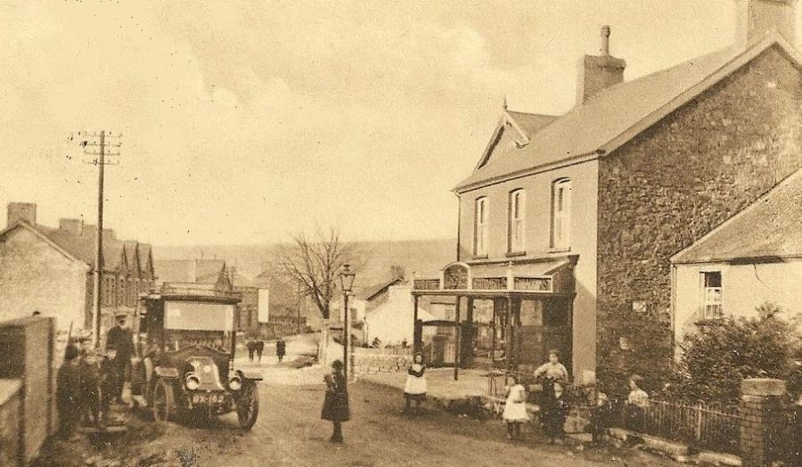
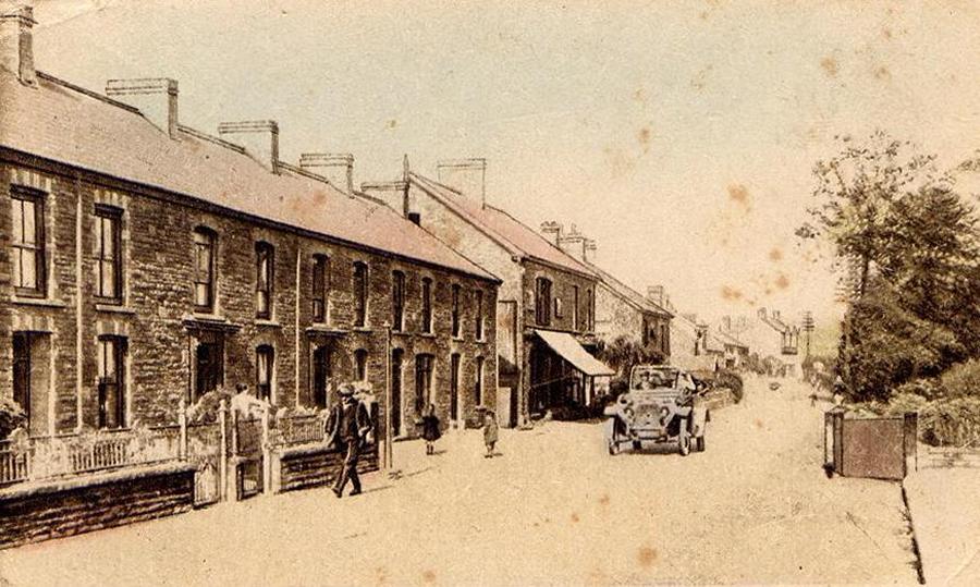
Cwmamman Road at the border of Glanamman and Garnant.
The motor car is parked outside the Half Moon public
house and New Bethel Chapel is on the right, obscured by the shop
building. The shop shown was named Stationers Hall; a book shop and
stationers owned by Moses Rees An advert for the business showed that
Moses Rees also sold musical instruments. Later, Gwyn Williams known
locally as Gwyn Dan-y-Bryn took over the premises. The buildings on
the northern side of Cwmamman Road stretching approximately from the
above shop to the Workmen's Hall were once known as Prospect Place.
Cwmamman Road, looking west from near Nant Main.
The above photograph was taken near the junction of
New School Road on the left. The row of shops canopies on the right
hand side shows the location of Arcade Terrace which was demolished
in March 2012.
Cwmamman Road, looking east from near Nant Main and
New School Road..
Looking West with Coronation Road on the left.
Cwmamman Road, looking east towards what is now Garnant
Constitiutional Club and Institute.
At the time of this photograph, the shop on the left
was an ironmongers owned by Arthur Davies. The building itself was
known as Springfield House.
Cwmamman Road, looking west from near the Old Post
Office.
Previous | Gallery
| Next
Homepage | Index