Some Captured History of Glanamman and GarnantOther Areas: Tair Carn Isaf
Tair Carn Isaf from Gelli Ceidrim, Glanamman. Overlooking Cwmamman, approximatedly three and a half miles to the north, is a mountain peak; modest in its elevation, in that it is only 440 metres in height. The grey limestone which outcrops at the highest parts, adds a contrast to the dramatic purple colour of the heather when it is in bloom. Situated near the top, slightly to the west of the apex, is a mound of limestone rocks, undefinable to the naked eye from the distant valley below. This peak is known locally as "The Turcan", which is a colloquialism of "Tair Cairn".
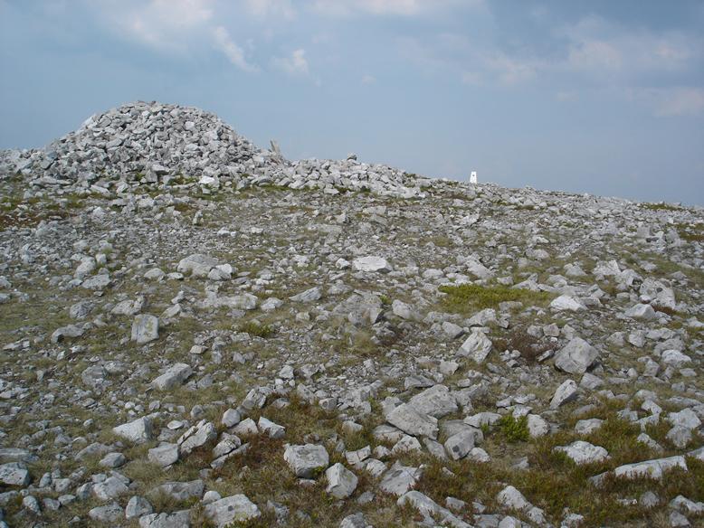
The Tair Isaf Carn, May 2008 The most easily accessible route to the summit, is to follow the rough trail from the mountain road which lies approximately one and a quarter miles to the South West of Tair Carn. Along the route, large steep sided shake holes can be seen, where the ground has subsided into underground holes. The limestone rocks, which outcrop in such abundance, are localised at the top of the hills and make the approach more hazardous. From this direction, it is not until the summit is reached. that it becomes evident that the single mound of stones is only one of several. These are spaced along the mountain top, the lower three making up Tair Carn Isaf, whilst further along in an easterly direction, the uplands boast a greater altitude and further mounds of stones at Tair Carn Uchaf. The English translation for Tair Carn Isaf is "Lower Three Cairns", whilst Tair Carn Uchaf translates as "Higher Three Cairns". There is an Ordnance Survey triangulation pillar between the first two Cairns, bearing a metal plaque with the following words: "TAIR CARN" ADOPTED BY AMMANFORD WALKING CLUB 7 - 3 - 1994 The Ordnance Survey Plaque gives the co-ordinates in the following format:
The pillar has a brass plate set into the top, which would at one time have accepted a survey instrument. Information found on the Ordnance Survey website shows that the trig pillar was established at Tair Carn in 1939 and refixed in 1956. Maintenance was last carried out to the pillar in 1984. Maintenance is no longer carried out on triangulation pillars, as these have become obsolete since the introduction of Ordnance Survey's GPS system.
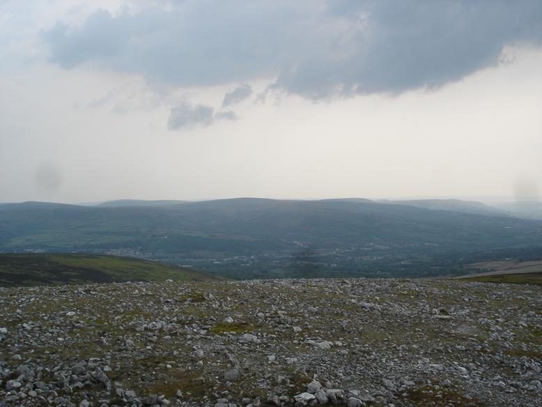
The Triangulation Pillar at Tair Carn Isaf The line of stone mounds along the mountain top seems rather enigmatic. After all, what is their purpose and who went to all the trouble of forming them in such a remote location? Some of the stone mounds are hollow in the centre, allowing several persons to sit within the stone circle and shelter from the inevitable wind. This may have been a recent adaptation to the mounds, giving rise to an explanation which I once heard; that it was to offer shelter to Roman Sentries who were guarding against threats from the Celts. Although appealing to the imagination, there is relatively little evidence of Roman activity in the area. Terry Norman's invaluable Ammanford website gives details of the Amman Valley Heritage Audit (Report No: 2003/5), by Paul Sambrook and Jenny Hall, published by Cambria Archaeology, January 2003. The article states that these Cairns are in fact Bronze age burial sites, where cremated remains were covered with the mound of stones, just below the hilltop, in order to have maximum visual impact when seen from below. . Cwmamman from Tair Carn Isaf The vista from Tair Carn Isaf is breathtaking on a clear day, with almost panoramic views. To the North is Carreg Cennen Castle above the village of Trap; to the South, Cwmamman; to the Southwest, the Loughor Estuary, where the river which flows from a cave at Llygad Llwchwr only a short distance to the North East of Tair Carn, finally joins the sea.
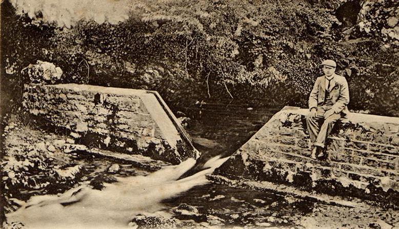
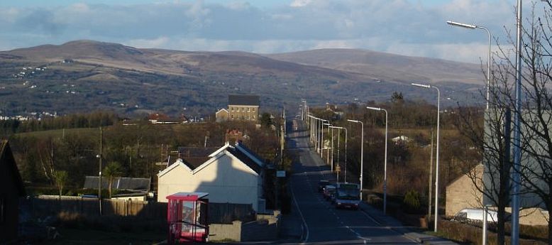
Llygad Llwchwr c.1904 The peaks of the Black Mountains form a beautiful backdrop to the Amman Valley when approaching from the M4 motorway and creates an instant impression when the traveller reaches the approach to Tycroes.
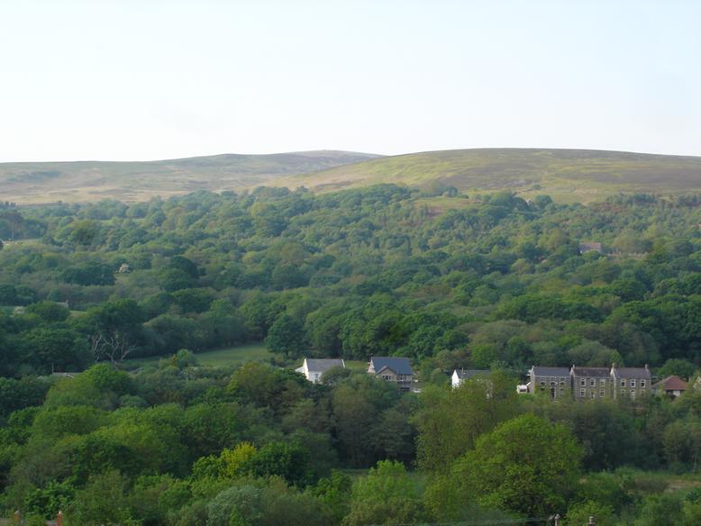
Tair Carn Isaf and the Amman Valley 2006 |